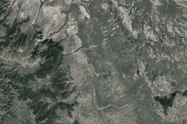
Field surveys in Nakhchivan Autonomous
Technical inventory (77 km) / Topographic surveys / GIS / Engineering Geological surveys / Mapping / Hydrogeological surveys
Technical inventory (77 km) / Topographic surveys / GIS / Engineering Geological surveys / Mapping / Hydrogeological surveys
Agreement was concluded for the purpose study of water resources and reconstruction of water farm infrastructure in the
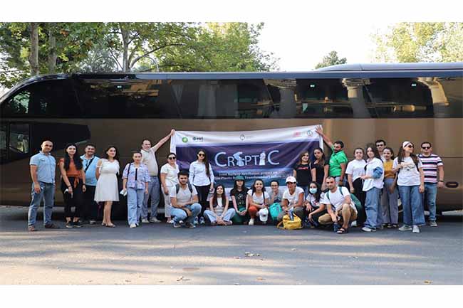
On August 8, the first field survey has started in the pilot area on the Caspian Sea coast
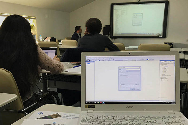
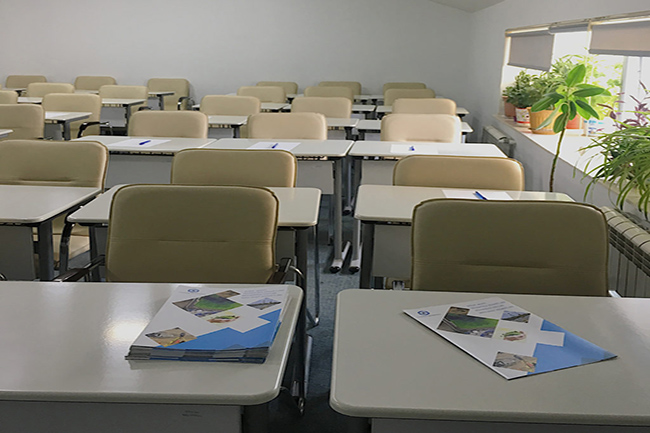
A training on Geographical Information Systems (GIS) has been arranged for some specialists of SOCAR within the framework
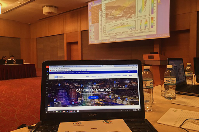
“GIS and The Environment” Stage I training, which was arranged by CASPIAN GEOMATICS, took place in November 28,
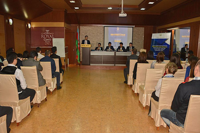
The final reporting event of “ Training for teachers who will teach geography with application of GIS at
“GIS Day” within framework of “Training for teachers who will teach geography with application of GIS at secondary
The first training on “ Ecological condition of Absheron Lakes and modelling of dynamic change ” of CASPIAN
This spring between the dates of 12-14 May 2018 the Institute of Geography of ANAS in cooperation with
The representatives of “CASPIAN GEOMATICS” participated in the training. It should be noted that our representative was selected