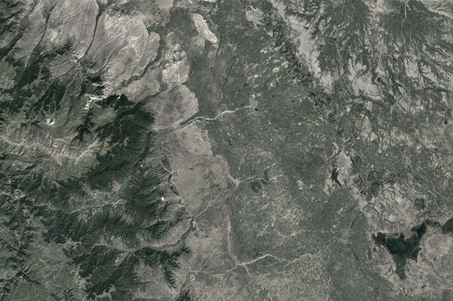
FIELD SURVEYS IN NAKHCHIVAN AUTONOMOUS
Technical inventory (77 km) / Topographic surveys / GIS / Engineering Geological surveys / Mapping / Hydrogeological surveys
Technical inventory (77 km) / Topographic surveys / GIS / Engineering Geological surveys / Mapping / Hydrogeological surveys
A bilateral agreement was concluded for the purpose of complex study of water resources and reconstruction of water
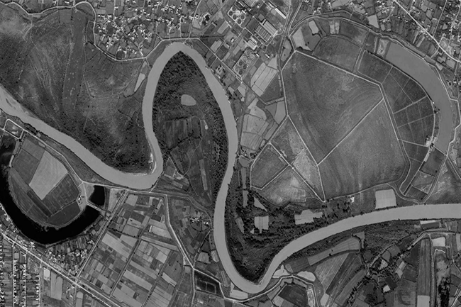
Bathymetry and topography surveys were carried out on the Kura River between Hashimkhanli and Akhtachi Mughan village of
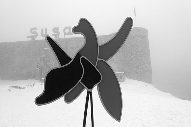
In order to assess the condition of cultural and historical monuments in our liberated territories, as well as
On the basis of the signed bilateral agreement, CASPIAN GEOMATICS LLC carried out the work of determining the
Wireline drilling (240 m) /Multichannel Analysis of Surface Waves (MASW)/Geophysical survey (396 m) /Topography (4.2 ha) On the
In order to investigate the geological structure and hydrogeological conditions on the basis of a bilateral agreement, CASPIAN
Hydrogeological parameters were determined, the total length of geophysical profiles was 1300 m. In order to improve the
The total volume of topographic survey was 14746.9 m. On the basis of the bilateral contract, engineering-topographical surveys
Wire Line drilling - 1220 meters, Seismic -1.0 km, SPT, Pressiometer test, Inclinometer test - 120 meters. In