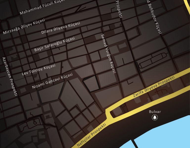
CARTOGRAPHY
CASPIAN GEOMATICS LLC has rich experience in cartography service (mapping). Numerous contracts have been signed in this field with our works on thematic cartography and topographic maps. Traditionally, according to their content, maps are divided into three groups: general purpose maps, topographical maps and special purpose (thematic) maps.
Various sources can be used in the preparation of cartographic products. During the selection of the source, the Client’s requirements are taken into account, and digital maps are developed that meet all the requirements. Currently, cartographic sources include aerospace data, internet resources, images obtained based on drone surveys, information obtained by laser scan and LIDAR technologies, materials obtained from terrestrial geodesy and topographic measurements, and paper map sources.
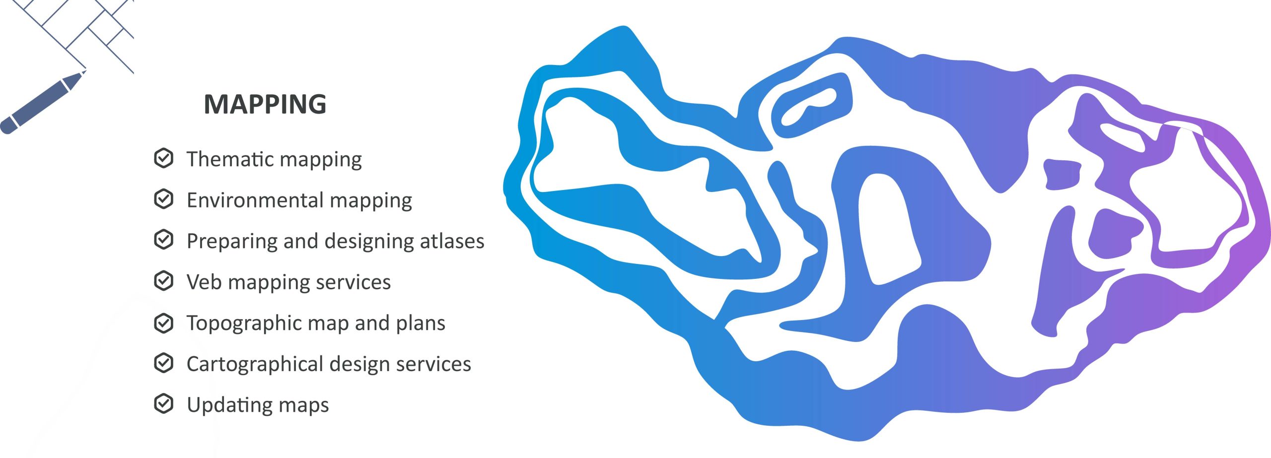
Thematic Cartography
Thematic Cartography, requiring modern approaches, is considered one of the main directions of cartography service (mapping). In general, in our experience related to map design, we are implementing numerous projects in all directions. These directions include general purpose maps and special (thematic) maps, socioeconomic and technical maps. We have expanded our portfolio by implementing many projects in the field of thematic and other mapping, including environmental mapping:
- Dynamic change maps
- PAH and TPH maps
- Heavy and Hazardous metals
- Sludge, Sediments (bottom sediments)
- Classification and ecological maps
- Protection and flood risks
- Rehabilitation, vulnerable areas and assessment maps
- Disasters and hazards
- Fauna and forest cover
- Atmospheric pollution and sanitary analysis
- Hydro-biological and ichthyological research maps
- Land use and infrastructure maps
- Climatic, physical and economic, geological, bathymetric, population maps
- Highways (road) and railway maps
Compiled maps (thematic cartography) are processed and designed in the Geographic Information Systems (GIS) environment. Based on our experience, we should note that thematic cartography is more demanding in mapping works and requires the application of modern systems.
Topographic maps
In the preparation of topographic maps, field topography surveys should be carried out initially. Preliminary assessment of the area is important in various fields, including in the development of infrastructure projects. For this, topographical surveys are carried out, where there are many methodological approaches. These methods include tacheometric survey and GPS measurement methods, drone, integrated application methods, photogrammetric survey, high resolution data application methods.
Usually, the investigation area for topographic survey by topographic service is methodically analyzed based on cartographic materials in advance. The surface structure of the area is analyzed and aerospace data with different resolutions are used. Then, the area is assessed in terms of applied methodology. At the next level, a geodetic reference point (benchmark) is installed or an existing state geodetic station is used. Based on this, the issues of measuring, calculating and balancing geodetic reference points in static mode are solved. In these measurements, reference base points are selected (RTCM-REF GNSS points), connected and an averaged observation criterion is selected. The equipment is centered on the point and the height is measured. Installed benchmarks are calculated based on GNSS stations as a method.
Operational methods include terrestrial laser scanning surveying methods or aerial photography (LIDAR). In the application of photogrammetric methods, the flight is planned and the issues of its accurate execution are solved. To ensure the geodetic accuracy of the product, photogrammetric reference points are installed in the area, their coordinates and elevations are measured. The unmanned aerial vehicle is equipped with a high-quality camera, and high-resolution images are obtained. Aerial photos are processed, an aero triangulation model is created and balanced.
Web maps
One of the modern requirements for cartography service (mapping) is the field of web mapping. Web cartography (web mapping) is a technology for using maps on the Internet through GIS services. Its main difference is that the user can independently choose what information will be displayed on the map. Here, special attention is paid to the processing of geospatial data. This is related to data collection and specific aspects of software architecture. The term web mapping is used synonymously with the term web GIS.
Geoinformation companies are now able to offer web mapping as part of their software service. The goal here is to enable the user to independently create and store maps. If necessary, the maps can be changed and uploaded to the server. A special editor is used to created these maps, and a method based on writing scripts that use the API for this service can be used.
Application of web mapping technologies (digital cartography) is impossible without special servers and programs. First of all, they require a geodatabase created in a GIS environment or integrated spatial databases.
Georeferencing issues
One of the important factors in cartographic service (mapping) is georeferencing issues. Also, the digitization of paper maps is distinguished by its relevance for today. Old municipal, cadastral and topographic maps are stored as raster media. Nowadays, these maps are often found within the framework of projects. Necessarily, these maps are analyzed, information about the area and object is obtained. In this regard, it is important to digitize such maps. As a result, objects are digitized and their management becomes possible, a geoinformation model of objects and events are created.
By reflecting the characteristics of the object and the event, the model allows the analysis of the current situation and obtaining an efficient result during the prediction. The interesting issue in creating a geoinformation model is not the time interval of the investigation object and the event, but the provision of an accurate description of its properties and image in nature.
The world around us, objects and events form a complex system. In this complex and unique system, it is impossible to study the process and event in parts. Such models reflect both the current state and predictive properties. There are various approaches, methods and algorithms for this. Geoinformation models are based on modern approaches, and their special features are that they have the ability to provide extensive information about objects and events. In the georeferencing issues, information about whether maps are deformed or not is important, and there are methods and approaches for this.
Cartographic design
Cartographic rules are strictly followed during the creation of maps and the design criterion is treated sensitively. Above all, map design requires taste, and here the ability to work with colors, to feel colors, is necessary. The nature of colors and their harmony are important in designing maps. For this reason, the map should be treated in a special way, and these approaches should be applied to all types of maps. Colors are used depending on the nature of objects and events in their design, just as there are approaches in map creation (mapping). This is more necessary in the direction of creation of thematic maps on cartography. In creating such maps, compositional compatibility should be taken into account and harmony should be noted.
SOME OF THE SIMILAR PROJECTS WE HAVE DONE
- Conducting engineering-geological and hydrogeological investigations and topographical surveys, performing soil laboratory investigations, technical inventory of canals within the framework of the Preparing Irrigation and Drainage System Development in Nakhchivan Autonomous Republic. Asian Development Bank, Nakhchivan Autonomous Republic Melioration and Water Farm OJSC, SOFRECO (January 2022/June 2022)
- Carrying out bathymetric surveys on Kura River (June 2022 / July 2022)
- Determining oil-contaminated areas within the framework of contract areas for Baku city using remote sensing methods (May – June 2022)
- Making digital map of Shusha city. State Tourisim Agency of the Republic of Azerbaijan (November 2020/2021- January)
- Creating Geographical Information System of Karabakh and Eastern Zangezur economic regions. State Tourisim Agency of the Republic of Azerbaijan (November 2020/2021- January)
- Creating Geographical Information System and making digital maps of the area of “Yukhari Bash” National Historical-Architectural Preserve included in UNESCO World Heritage List which is the historical centre of Sheki. State Tourisim Agency of the Republic of Azerbaijan (November-December, 2020)
- Survey of the seabed in the project area (Lankaran) and investigation of active erosion processes in coastal zones (2020/August-September)
- Implementation of Bathymetric survey in the delta and on the basin of the Caspian sea (2020/May-June)
- Implementation os SONAR (Side Scan Sonar) and Bathymetric survey on the Caspian sea basin (2020/April)
- Making digital maps of some districts of Azerbaijan based on GIS on contract areas (2019/August)
- Engineering-topographic survey on an area of 8000 hectares of the Jeyranchol massif (2018-2019)
- Performing Bathymetric investigation in southern coasts of the Caspian sea (2018/August)
- Performing Bathymetric survey in local areas on basin of the Caspian sea (2018/February-March)
- Performing Bathymetric survey in offshore territory of the Caspian sea (2018/February-March)
- Engineering-Geodesy (Executive Survey) work implementation project in non-residential building (2018/June)
- Implementation of Topographic works on 3200 hectare area of Yevlakh and Goranboy districts (2018/August)
- “Orthophoto mapping and creating topographic map of 7000 ha area of Saatli region” project (2018 January/February)
- Boyukshor lake remediation project Phase 2 – Engineering and Supervision (IQLIM LTD) (2018)
See also:
Remote Sensing
Geological & Geophysical surveys
GIS Solutions
Hydrographic survey
Geodesy & Photogrammetry