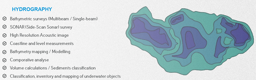
CASPIAN GEOMATICS proposes professional services in bathymetry (hydrographic surveys), side-scan sonar, hydrographic mapping, discharge (hydrology) and level measurement, and modeling.

Our experience

Thanks to our experience, we perform depth measurements on both artificial and natural water bodies. Our approach depends directly on the specific methodologies to be applied, both in terms of depth and other criteria. We follow a very strict HSE policy when working shallow and deep. We have an HSE policy on deep field bathymetry surveys. In addition to having international HSE certificates, our staff consists of specialists trained on the basis of model courses of the International Maritime Organization. The staff consists of constantly certified professionals in the fields of elementary first aid, personal survival techniques, so fire prevention and fire fighting, personal safety and social responsibility. We have applied bathymetric surveys and Side Scan Sonar surveys in many fields and have rich experience in this regard.

Sonar and bathymetry surveys

 In general, Sonar surveys are mainly used to investigate the structure of the relief in areas where oil, gas, water, and power (electricity) lines will be installed, to detect underwater objects that will hinder with their measurements, to determine the technical condition of existing pipelines and intersections, to investigate the study of the relief during the placement of hydrotechnical facility, to obtain information about solid rock protrusions, and to obtain an acoustic description of the bottom (sea) relief. At the same time, sonar surveys are widely used in underwater analyzes related to safety in beach areas.

Methodically, during sonar and bathymetry surveys (single-beam and multi-beam surveys with echo sounder), navigation and geodetic parameters, ship configuration parameters are specified. Such surveys are carried out constantly and are mainly related to the use of the type of ship depending on the location of the project area or the project area locates in different areas of the sea. Project area can be shallow or deep areas. In this regard, depending on the situation, navigation and other issues are resolved.

As a methodological approach, the location plan of our facility on the project area is prepared in the initial situation. The directions of the profile lines for the ship or boat are determined. Before starting sonar surveys, areas with restricted movement are analyzed in terms of equipment safety. Then coverage zones are considered.

When an underwater object is detected in sonar surveys, its size is calculated and interpreted based on software.

The dimensions of designated underwater objects are recorded (noted )and those objects are displayed on the map with point coordinates. These dimensions are length, width and height parameters. If there are gaps in the lower parts of the belts, their length and height from the ground to the belt are presented on the map. The solid rock protrusion is recorded as points in the program, after interpretation the contours are displayed on the map.

Depending on the geographical location (typical of coastal areas) and water depth, different methodologies can be applied in the project area. This is called the integrated application of various methods. Usually, due to the shallowness of coastal areas (beaches), it is impossible to completely use the echo sounder in such zones. In such cases, tacheometric or GPS survey methods are also used. By taking many characteristic points, a bathymetric plan of the shallow areas is prepared. Then, surveys are carried out in other areas using single-beam or multi-beam echo sounder and the model is created.

Our hydrography services are available on other water bodies as well. Rivers and lakes, water reservoirs can be attributed to such objects .Here we can also talk about the application of LIDAR systems. In some cases, different aerospace materials are also used. Usually, these approaches are widely used in delta investigation, flood analysis, meandering river investigation, calculating the damages caused by disasters, and other issues. It should be noted that there are a number of methodological approaches in rivers as well as in bathymetry surveys conducted in seas.

 Broken and submerged parts of the platform are displayed on the map as a special note as a warning. As a result, if there is relevant waste on the bottom relief, an inventory map of objects is prepared. At the end, we present a report to the Client. The report contains a detailed description of the applied methodology both in relation to bathymetry and results of sonar surveys, equipment used, maps and models prepared, mosaic images and other information. At the same time, the risk assessment table, emergency  situations plan and HSE policy are presented to the Client.

Hydrographic service (hydrometry) includes side-scan sonar and bathymetry surveys, mapping, bathymetric modeling, consulting and volume calculation service. CASPIAN GEOMATICS proposes the following services on a modern technical basis:

  • bathymetry surveys, hydrographic mapping  (single-beam/multi-beam)
  • limnological investigations (limnology)
  • bathymetric and side-scan sonar surveys
  • bottom relief survey and modeling
  • complex marine geodetic services
  • creation of high-resolution acoustic images
  • detection of dangerous zones and underwater objects for safe movement of ships
  • prospecting for submerged underwater objects
  • identification of an underwater dangerous object
  • classification of underwater objects, inventory, mapping
  • comparative analysis
  • coastal surveys (dynamic change, coastal management, erosion, transgression)
  • classification of sediments (bottom sediments)
  • bottom survey works (cleanliness check etc.) on water bodies (reservoir, lake, river, sea)
  • discharge (hydrology), level and other measurements

During bathymetry  and sonar surveys, we obtain the following results:

  • We create a detailed model of the bottom relief of water bodies by taking many characteristic points.
  • Based on bottom relief models (bathymetric models), we create profiles and perform volume calculations.
  • We classify existing underwater (sea, river, lake, water reservoirs, etc.) objects, carry out an inventory, and create an inventory map.
  • We mosaic the acoustic images obtained as a result of sonar survey (bringing into a single (uniform) image – the coverage percentage of the images along the profile lines is 100%).
  • We perform both single-beam and multi-beam surveys for bathymetry surveys.
  • We bring the results obtained during bathymetry surveys to the elevation system (for example, the Baltic elevation system) and perform geodetic surveys resulting from this.
  • We prepare bathymetry maps and create the geographic information system of the project area.

sonar_side scan sonar

HSE

When we work in water bodies and on land, we strictly follow the rules of safety techniques in geodesy. Namely, thanks to our HSE policy, there are no incidents during our work (surveys). Methodologically, HSE specialists assess the risks on the project area, and as a result, all the expected danger possibilities are reduced to the minimum level. As a result, safe execution of works is ensured. As a procedure, specialists first inspect the project area and prepare the necessary documents and present them to the Client.

review a number of projects that have been done

download the brochure

SOME OF THE SIMILAR PROJECTS WE HAVE DONE

  1. Conducting engineering-geological and hydrogeological investigations and topographical surveys, performing soil laboratory investigations, technical inventory of canals within the framework of the Preparing Irrigation and Drainage System Development in Nakhchivan Autonomous Republic. Asian Development Bank, Nakhchivan Autonomous Republic Melioration and Water Farm OJSC, SOFRECO (January 2022/June 2022)
  2. Carrying out bathymetric surveys on Kura River (June 2022 / July 2022)
  3. Survey of the seabed in the project area (Lankaran) and investigation of active erosion processes in coastal zones (2020/August-September)
  4. Implementation of Bathymtric survey in the delta and on the basin of the Caspian sea (2020/May-June)
  5. Implementation os SONAR (Side Scan Sonar) and Bathymetric survey on the Caspian sea basin (2020/April)
  6. Performing Bathymetric investigation in southern coasts of the Caspian sea (2018/August)
  7. Performing Bathymetric survey in local areas on basin of the Caspian sea (2018/February-March)
  8. Performing Bathymetric survey in offshore territory of the Caspian sea (2018/February-March)
  9. Boyukshor lake remediation project Phase 2 – Engineering and Supervision (IQLIM LTD) (2018)

See also:

Geomatics services

Environmental services

Geological & Geophysical survey services

Consulting services

IT & System Integration

Khojali Avenue 55, AGA Business Center 4th floor, Baku, Azerbaijan, AZ1025 [email protected] (+994) 55 206 09 95 (WhatsApp)
× WhatsApp Chat