CASPIAN GEOMATICS
SERVICES
PROJECTS
SERVICES

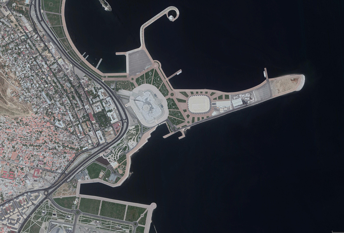
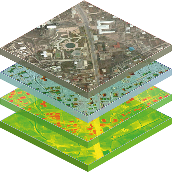
GEOMATICS SERVICES
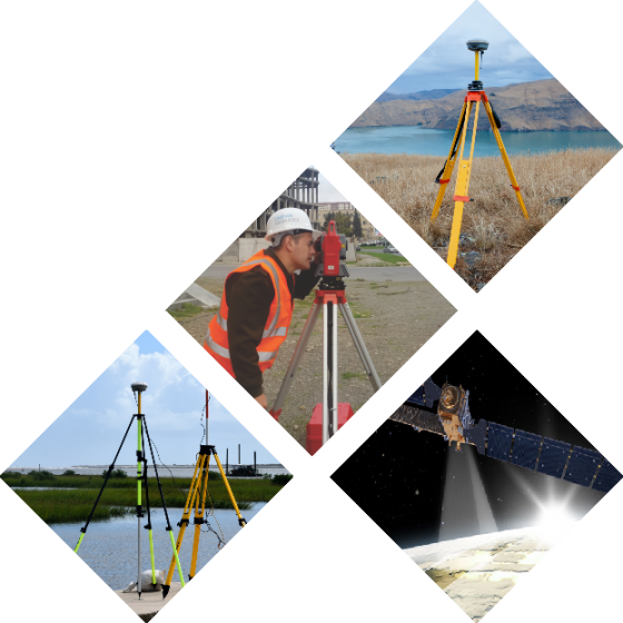
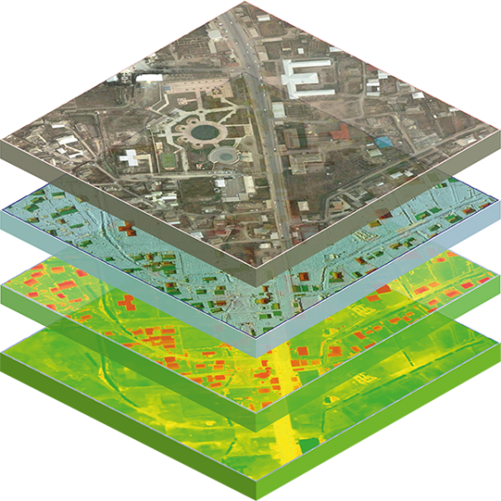
Geodesy & Topography / Cartography / Remote Sensing / GIS / Photogrammetry / DRONE (UAV) / DEM / DTM / Spatial Analyse
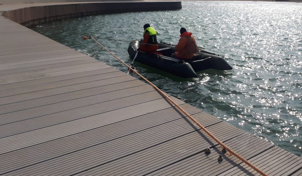
HYDROGRAPHIC SURVEY SERVICES
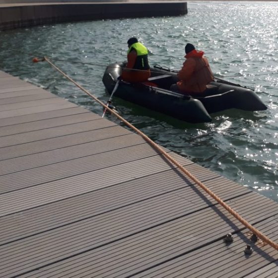
Bathymetry / SONAR (Side Scan Sonar) / Multibeam / Single-beam / Depth measuring / Modeling / LIDAR / Bathymetry mapping
ENVIRONMENTAL SERVICES
Environmental Impact Assessments (EIA) / GIS / Ecosystems / Vulnerability & Risk Assessments / Environmental monitoring
GEOLOGY / GEOPHYSICS / HYDROGEOLOGY
Geological investigations / Drilling / GIS-based geological model / Geophysical surveys / Geological mapping & GIS / Hydrogeology
HYDROLOGICAL INVESTIGATION
Study of the hydrological regime / Modeling / Automatic hydrological stations / Water monitoring stations / Hydrometric surveys
METOCEAN STUDIES
Marine automatic meteorological stations / Study of flows / Evaporation and precipitation / Wind / Wave / Sedimentation / Bathymetry
SOIL AMELIORATION
Water-salt regime/ Agroclimate / Soil erosion / Salinity / Groundwater / Agro-meteorological stations / soil sampling & chemical analyzes
HYDROGEOLOGICAL SERVICES
Determination of hydrogeological parameters / Experimental work / Geophysical research / Underground water / Modeling
SCADA (AUTOMATION)
SCADA in irrigation canals / SCADA design / SCADA & GIS / Integrated management / Regime wells & SCADA / Remote control
LATEST NEWS

SOCAR AND CASPIAN GEOMATICS SIGNED A FRAMEWORK AGREEMENT
A framework agreement dated 18 July 2024 was signed between SOCAR Heydar Aliyev Oil Refinery and CASPIAN GEOMATICS LLC on…

GIS training for Azerbaijan Railways CJSC specialists
Azerbaijan Railways & CASPIAN GEOMATICS LLC signed an agreement on the purchase of GIS training services. Within the framework of …
NORM AND CASPIAN GEOMATICS SIGN FRAMEWORK AGREEMENT
A framework contract dated 16 February 2024 was signed between NORM OJSC & CASPIAN GEOMATICS LLC in the field of…

