Metocean studies is one of the main activities of CASPIAN GEOMATICS company. CASPIAN GEOMATICS has signed numerous contracts on metocean study. We follow a very strict HSE policy. In addition to having international HSE certificates, our staff consists of specialists trained on the basis of model courses of the International Maritime Organization (IMO).
Metocean is a term that refers to the combined effects of meteorological and oceanographic conditions on offshore structures and operations. These conditions can have a significant impact on offshore activities such as oil and gas exploration, offshore construction, and shipping, and understanding metocean conditions is critical for ensuring the safety and efficiency of these operations.
Metocean conditions include a variety of environmental variables, such as wave height and direction, wind speed and direction, ocean currents, water temperature and tides. These conditions can be highly variable depending on the location and time of year, and accurate and up-to-date information on metocean conditions is essential for planning and executing offshore operations. In addition to improving safety, understanding metocean conditions can also help to optimize the design and maintenance of offshore structures and reduce the risk of environmental damage or pollution. In conclusion, Metocean data is fundamental to the success of all marine offshore & renewable projects, from planning and exploration to design and implementation.
Services
- humidity, air temperature, wind speed, direction, wind rose and wind spectrum (meteorology)
- precipitation and evaporation regime, study of flows (classification of flows and study of flow recurrence tendencies)
- carrying out studies on level fluctuations and swell (determination of wave parameters and long-term analysis)
- carrying out analysis on observational data
- creation of a geoinformation system on metocean studies and mapping
- modeling for metocean studies (flow, wave, sedimentation)
- sedimentation, study of bottom sediments
- bathymetric and sonar survey
- coastal slope stability
- study of water bodies based on remote sensing methods
- abrasion processes (abrasion)
- installation of automatic meteorological stations and selection of suitable locations for the station
- installation of automatic hydrological stations
- selection of appropriate places for installing water measuring stations
- installation of marine hydrologymeteorological automatic observation stations
- selection of appropriate places for conducting oceanological and meteorological observations
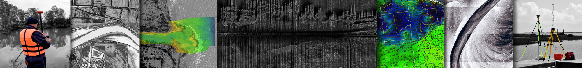
It is very important to conduct metocean studies at various stages of offshore or coastal projects. At this time, the assessment of environmental conditions, the complex study of the aquatoria serves to implement the project with quality. In such projects, the application of remote sensing methods, the use of global models, as well as the use of existing station data are considered. Our company has all the opportunities to conduct metocean studies.
review a number of projects that have been done