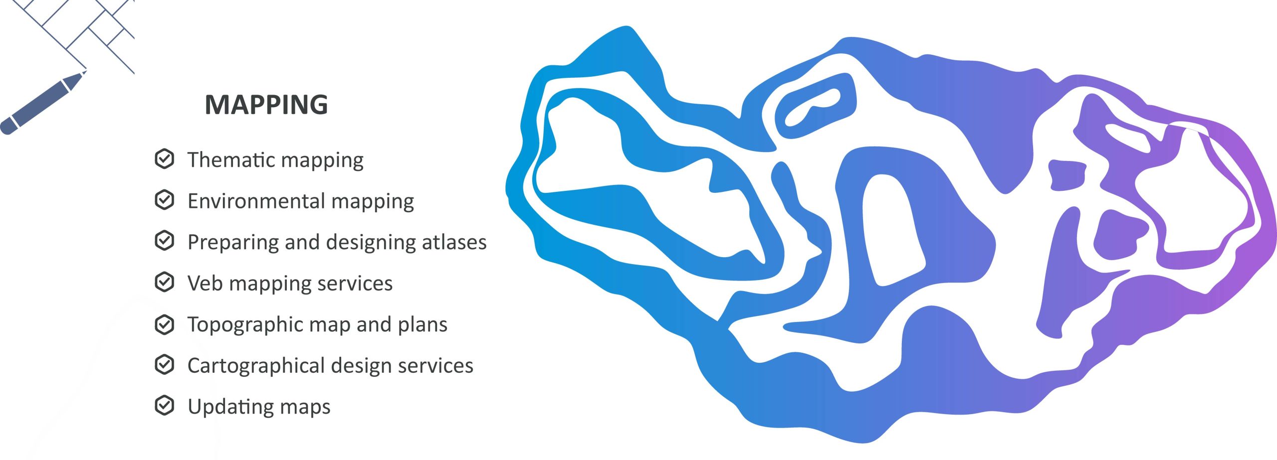
CARTOGRAPHY
Cartography service (topographic mapping, web mapping, cartographic design) is one of the main activities of CASPIAN GEOMATICS company. Numerous contracts have been signed in this field with our works on thematic cartography and topographic mapping. Various sources can be used in the preparation of cartographic products. Currently, cartographic sources include aerospace data, internet resources, images obtained based on drone surveys, information obtained by laser scan and LIDAR technologies, materials obtained from terrestrial geodesy and topographic surveys, and paper map sources.
Thematic Cartography
Modern approaches are required for thematic cartography, which is considered one of the main directions of cartography service (mapping). In general, we implement numerous projects in all directions in our experience related to map design. These directions include general purpose maps and special (thematic) maps, socioeconomic and technical maps. We have expanded our portfolio by implementing many projects in the field of thematic and other mapping, including environmental mapping. We process and design compiled maps (thematic cartography) in the Geographic Information Systems (GIS) environment. Based on our experience, we should note that mapping works for thematic cartography are more demanding and require the application of modern systems.
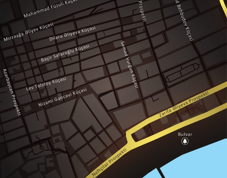
Topographic mapping
In modern mapping, a topographic map or topographic sheet displays large-scale detail and quantitatively represents relief features, typically using contour lines that connect points of equal elevation, although historians used a variety of methods in the past. To prepare topographic maps, you should initially conduct field topography surveys. Various fields, including infrastructure project development, place importance on assessing the area beforehand. To achieve this, we conduct topographical surveys by employing various methodological approaches. We use tacheometric surveys, GPS survey techniques, drones, integrated applications, photogrammetric surveys, and high-resolution data applications.
The topographic service usually methodically analyzes the investigation area for the topographic survey based on cartographic materials in advance. They examine the surface structure of the area and use aerospace data with different resolutions. They assess the area based on the applied methodology. Next, they install a geodetic reference point (benchmark) or utilize an existing state geodetic station. From this, we address the issues of measuring, calculating, and balancing geodetic reference points in static mode. In these measurements, we select reference base points (RTCM-REF GNSS points), connect them, and choose an averaged observation criterion. We center the equipment on the point and measure the height. We use GNSS stations to calculate installed benchmarks as a method.
Operational methods such as terrestrial laser scanning surveying methods and aerial photography (LIDAR) apply photogrammetric techniques. The team plans the flight and addresses issues to execute it accurately. To guarantee the geodetic accuracy of the product, they install photogrammetric reference points in the area, measuring their coordinates and elevations. They equip the unmanned aerial vehicle with a high-quality camera and capture high-resolution images. The team processes aerial photos, creates a model for aero triangulation, and balances the model.
Web maps
In modern cartography service (mapping), one of the requirements is the field of web mapping. Web cartography (web mapping) is a technology for using maps on the Internet through GIS services. The main difference is that the user can independently choose what information will be displayed on the map. It focuses specially on processing geospatial data, which involves data collection and specific aspects of software architecture. People use the term web mapping interchangeably with the term web GIS.
Geoinformation companies can now offer web mapping as part of their software service. The goal here is to empower users to create and store maps independently. If necessary, you can change the maps and upload them to the server. A special editor creates these maps, and you can use a method based on writing scripts that utilize the API for this service.
You cannot apply web mapping technologies (digital cartography) without special servers and programs. They primarily need a geodatabase created in a GIS environment or integrated spatial databases.
Georeferencing issues
One important factor in cartographic service (mapping) is georeferencing issues. Today, the relevance of digitizing paper maps stands out. Raster media stores old municipal, cadastral, and topographic maps. Nowadays, many projects include these maps. Researchers analyze them to obtain information about the area and objects. In this regard, digitizing such maps is important. As a result, objects are digitized and their management becomes possible, a geoinformation model of objects and events are created.
The model reflects the object’s and event’s characteristics, which enables analysts to analyze the current situation and achieve efficient results during prediction. When creating a geoinformation model, researchers focus not on the time interval of the investigation object and the event but on accurately describing its properties and image in nature.
The world around us forms a complex system, consisting of objects and events. Studying the process and event in parts becomes impossible in this unique and complex system. Such models reflect both the current state and predictive properties. There are various approaches, methods, and algorithms for this purpose.
Cartographic design
When creating maps, cartographers strictly adhere to cartographic rules and treat the design criterion with sensitivity. Cartographers need the ability to work with colors and to feel their harmony for effective map design, which requires a sense of taste. They should give special treatment to maps by applying these approaches to many designs, as the nature of colors plays a crucial role in overall design. In mapping, specific objects and events determine the use of colors. When creating thematic maps in cartography, it is important to consider compositional compatibility and note elements of harmony.
review a number of projects that have been done
See also:
Remote Sensing
Geological & Geophysical surveys
GIS Solutions
Hydrographic survey
Geodesy & Photogrammetry