SOCAR AND CASPIAN GEOMATICS SIGNED
A framework agreement dated 18 July 2024 was signed between SOCAR Heydar Aliyev Oil Refinery and CASPIAN GEOMATICS
A framework agreement dated 18 July 2024 was signed between SOCAR Heydar Aliyev Oil Refinery and CASPIAN GEOMATICS
Azerbaijan Railways & CASPIAN GEOMATICS LLC signed an agreement on the purchase of GIS training services. Within the
A framework contract dated 16 February 2024 was signed between NORM OJSC & CASPIAN GEOMATICS LLC in the
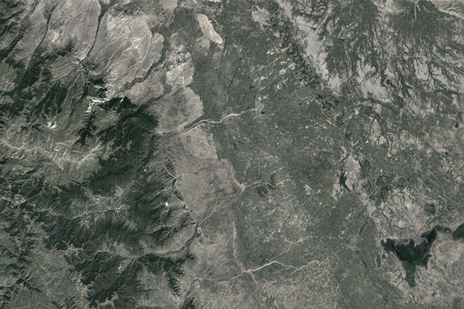
Technical inventory (77 km) / Topographic surveys / GIS / Engineering Geological surveys / Mapping / Hydrogeological surveys
A bilateral agreement was concluded for the purpose of complex study of water resources and reconstruction of water