SEWERAGE AND WATER SUPPLY PROJECT
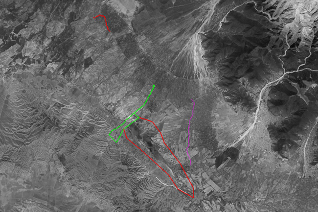
Wastewater treatment plants / Shusha wastewater treatment plants complex / Sampling - 687m / Diameter - 132mm /
Wastewater treatment plants / Shusha wastewater treatment plants complex / Sampling - 687m / Diameter - 132mm /
SCADA system, Geodetic surveying, DRONE, GIS & topographic mapping, engineering, DEM / DTM, technical inventory of irrigation canals.
Prospecting and engineering works at the Norm cement plant and raw material areas included carrying out topographical &
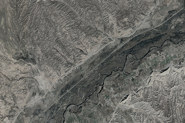
Hydrological survey, GIS, SCADA consulting, DEM and DTM, mapping, geology, exploration & drilling, geodetic surveying. A contract was
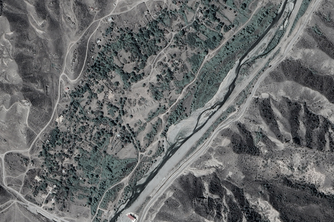
Hydrogeology and Geology, Topographic surveys, soil sampling, drilling, soil laboratory. The surveys for the design aimed to investigate
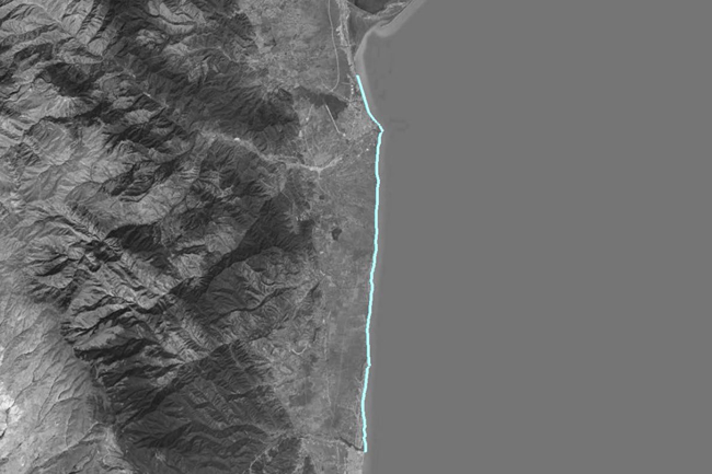
Sea level fluctuations, Wind regime and currents, topographic and bathymetric surveys, mapping "Impact of Caspian Sea level fluctuations
Thematic mapping, soil laboratory, sampling, soil amelioration investigating, salinity, GIS and soil analyse. The team signed a contract
Based on satellite images and GIS technology, determining the spreading areas of wildfires and areas with fire danger,
Bathymetry survey, based on hydrographic echo sounder, bathymetry map, 3D, GIS. The Company signed a contract to conduct
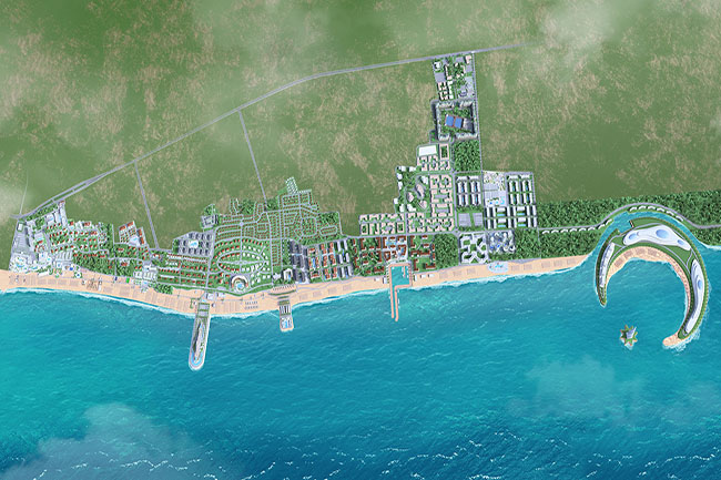
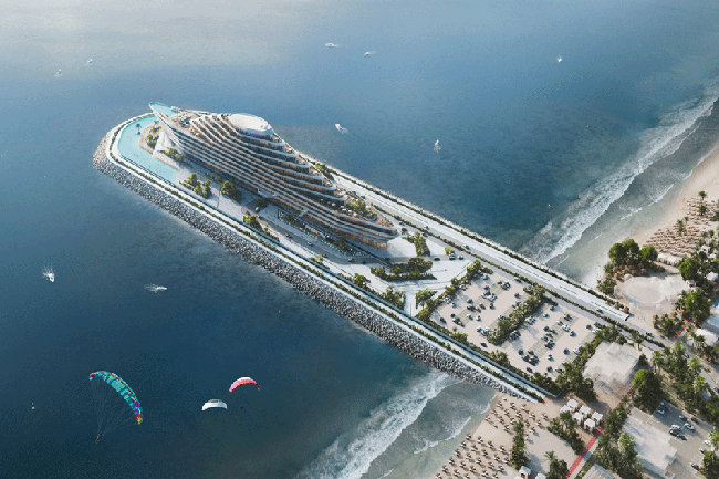
Caspian Dream Liner Sea Breeze Resort project, CAD, 3D modeling, mapping, aquatoria, GIS, GPS navigation, bathymetry & topography