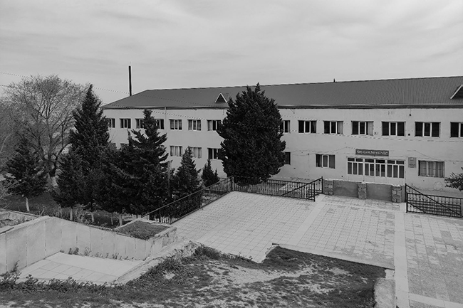
RECONSTRUCTION PROJECT OF HOKMELI SCHOOL
To carry out engineering geological and soil laboratory research related to the reconstruction of the high school in
To carry out engineering geological and soil laboratory research related to the reconstruction of the high school in
Bathymetry & topography survey, remote sensing, geodetic surveys A contract was signed for the purpose of carrying out
Technical inventory (77 km) / Topographic surveys / GIS / Engineering Geological surveys / Mapping / Hydrogeological surveys
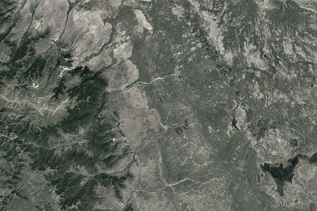
A contract was signed with Caspian Geomatics on March 02, 2022 for the purpose of assessment of river
A bilateral agreement was concluded for the purpose of complex study of water resources and reconstruction of water
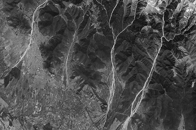
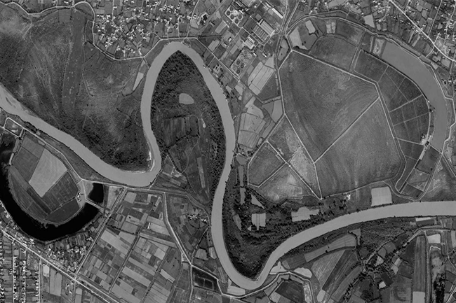
Surveyors carried out bathymetry and topography surveys on the Kura River between Hashimkhanli & Akhtachi Mughan village of
To assess the condition of cultural and historical monuments in our liberated territories, we need to create a
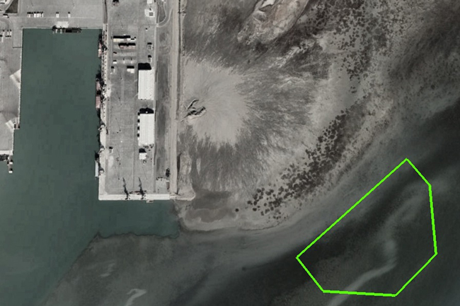
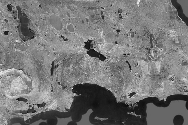
Based on the signed bilateral agreement, team of the company determined the oil-contaminated areas of Baku city using
Wireline drilling (240 m) / Multichannel Analysis of Surface Waves (MASW) / Geophysical survey (396 m) / Topography
Sampling 37 / Geological drilling / Soil laboratory / Hydrogeological survey / GIS mapping Caspian Geomatics LLC conducted