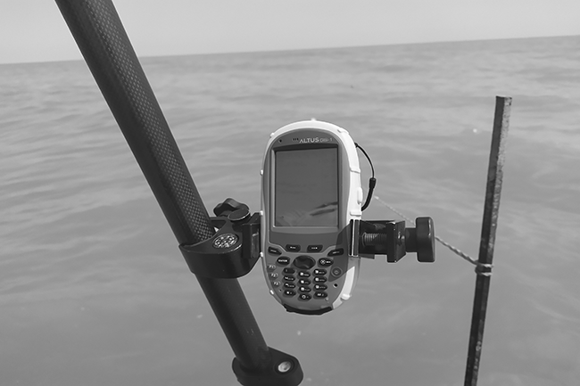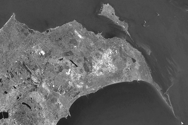
Hydrogeological & geophysical surveys in
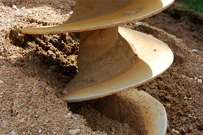
Caspian Geomatics conducted hydrogeological & geophysical surveys in the Khizi. To improve the water supply, we investigated and
Caspian Geomatics conducted hydrogeological & geophysical surveys in the Khizi. To improve the water supply, we investigated and
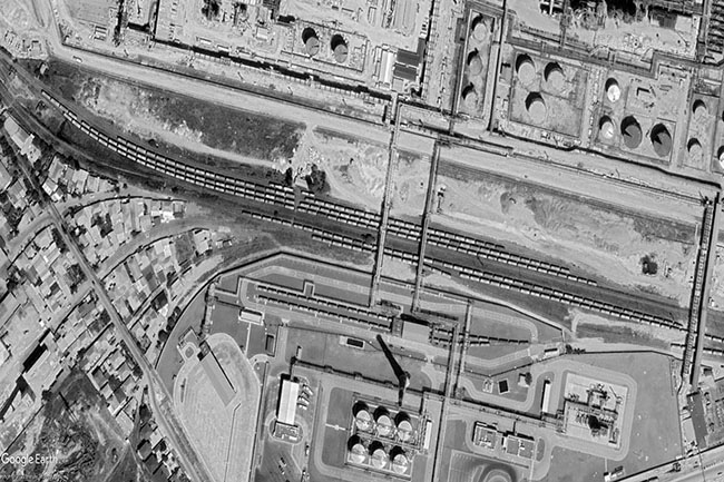
The total volume of topographic survey was 14746.9 m. On the basis of the bilateral contract, engineering-topographical surveys
Wireline drilling - 1220 meters, Seismic -1.0 km, SPT, Pressuremeter test, Inclinometer test - 120 meters. A contract
The authorities have signed a bilateral agreement to create a geographical information system (GIS). The team also compiled
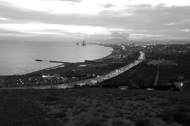
Hydrographic surveying were conducted in 3 ha, study of exogenous processes was carried out along 300 meters of
In order to improve the water supply of Turkan settlement of Khazar district, there is a need to
In order to improve the water supply of Gala settlement of Khazar district, there is a need to
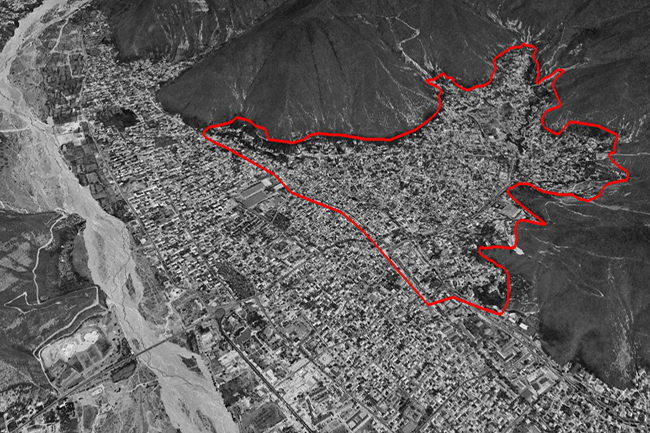
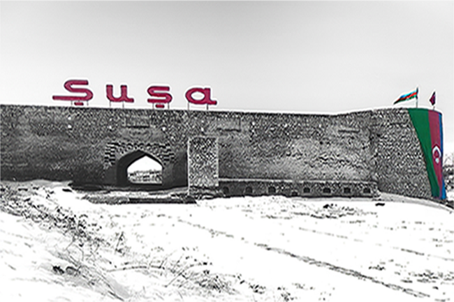
GIS mapping of Shusha city. Our specialists compiled the GIS map of Shusha city. At the same time,
CASPIAN GEOMATICS LLC signed a contract for engineering-geodetic and topographic surveys. The team carried out the works at
The scope of geological drilling was 430 meters, seismic surveys were conducted on two profiles (length of profiles