BATHYMETRIC SURVEY IN THE DELTA
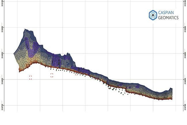
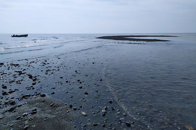
Bathymetric surveys were carried out in a 16 ha area with a single-beam hydrographic echo sounder (Caspian Sea).
Bathymetric surveys were carried out in a 16 ha area with a single-beam hydrographic echo sounder (Caspian Sea).
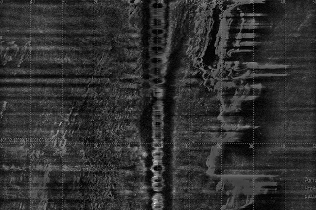
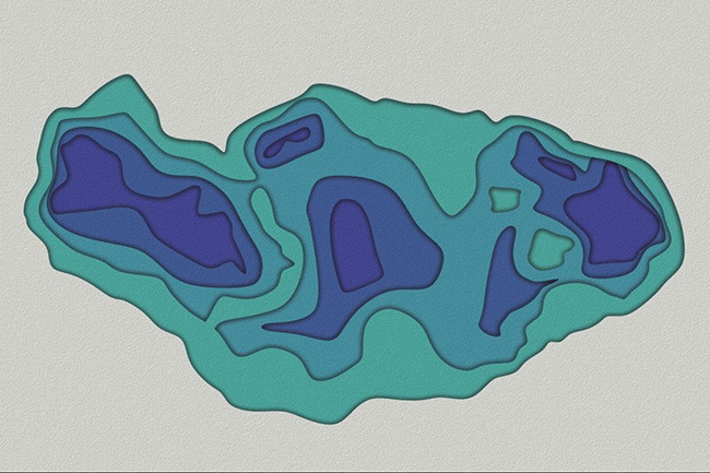
Bathymetry & Side Scan Sonar Surveys, MBES - multibeam echo sounder, Sonar Imaging & bathymetric mapping, bottom relief.
Being involved in oil sector, our client is one of the company who has a wide range of
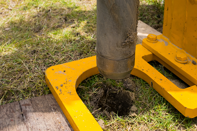
The team conducted engineering geological investigations to design the reservoir, and they drilled a total of 168 m.
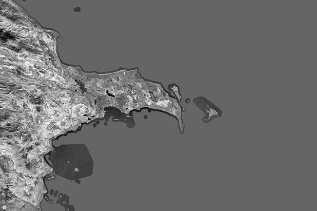
GIS services for the Master Plan of the “Absheron Peninsula Drinking Water Supply, Sewerage and Rainwater Systems” project
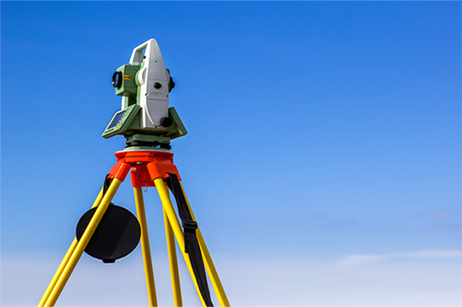
The Company signed a contract to conduct topographic surveys and geoinformation analyses on an area of 8000 ha.
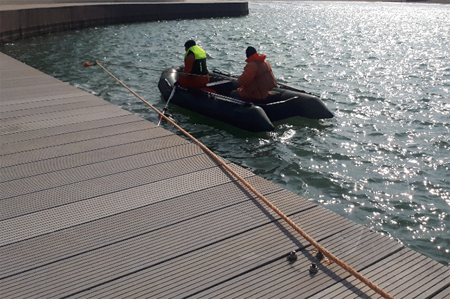
Parties signed bilateral contracts for performing seabed mapping (seafloor mapping). Along the southern coasts of the Caspian Sea
Post-Dredge Surveys / Dredging / Seafloor mapping / Marine construction / Hydrographic services / GIS A bilateral agreement
Underwater Mapping / Dredging / Seabed mapping / Bottom relief / Seafloor mapping. A bilateral agreement was signed
Topographic surveys were carried out in 3200 ha, topographic map was compiled on the scale of 1: 5000.