ASSESSING CHANGES IN NATURAL OBJECTS
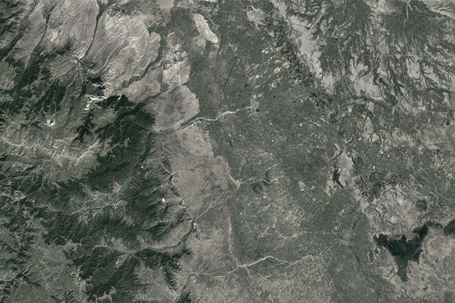
Based on satellite images and GIS technology, determining the spreading areas of wildfires and areas with fire danger,
Based on satellite images and GIS technology, determining the spreading areas of wildfires and areas with fire danger,
Bathymetry survey, based on hydrographic echo sounder, bathymetry map, 3D, GIS. The Company signed a contract to conduct
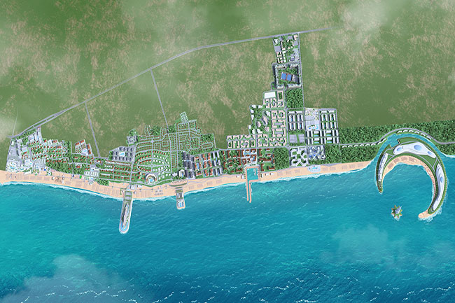
Caspian Dream Liner Sea Breeze Resort project, CAD, 3D modeling, mapping, aquatoria, GIS, GPS navigation, bathymetry & topography
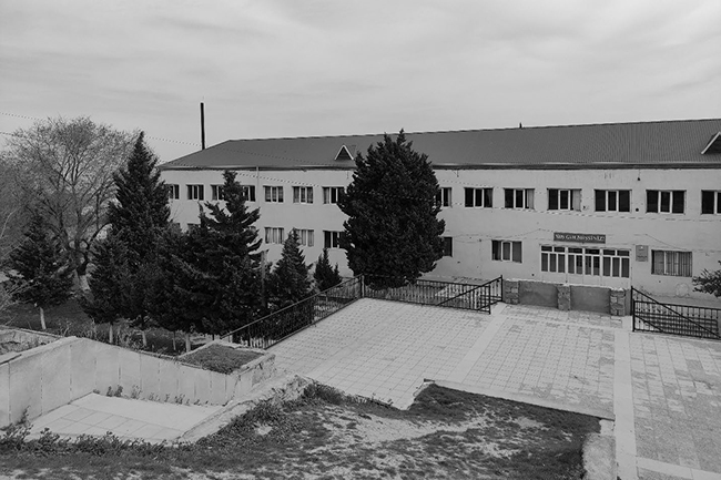
To carry out engineering geological and soil laboratory research related to the reconstruction of the high school in
Bathymetry & topography survey, remote sensing, geodetic surveys A contract was signed for the purpose of carrying out
Technical inventory (77 km) / Topographic surveys / GIS / Engineering Geological surveys / Mapping / Hydrogeological surveys
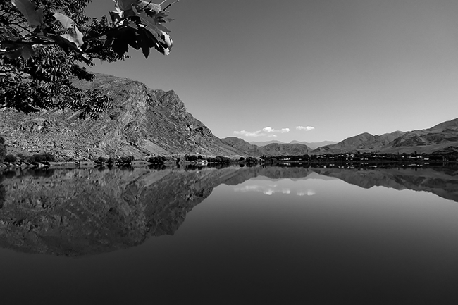
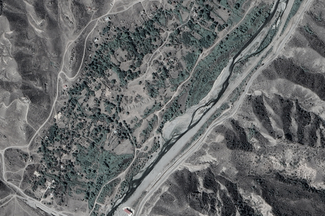
A bilateral agreement was concluded for the purpose of complex study of water resources and reconstruction of water
Technical inventory (77 km) / Topographic surveys / GIS / Engineering Geological surveys / Mapping / Hydrogeological surveys
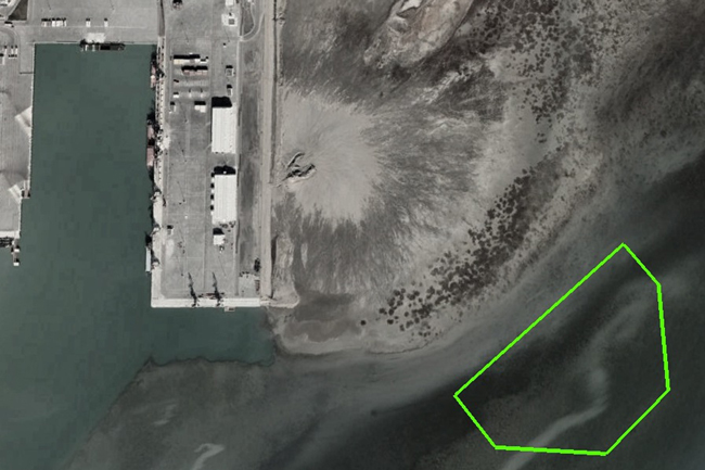
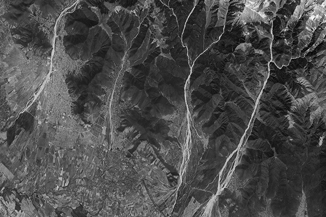
A contract was signed with Caspian Geomatics on March 02, 2022 for the purpose of assessment of river
A bilateral agreement was concluded for the purpose of complex study of water resources and reconstruction of water