CARRYING OUT BATHYMETRIC SURVEYS ON
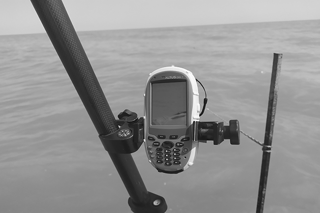
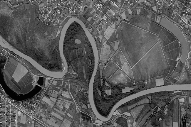
Surveyors carried out bathymetry and topography surveys on the Kura River between Hashimkhanli & Akhtachi Mughan village of
Surveyors carried out bathymetry and topography surveys on the Kura River between Hashimkhanli & Akhtachi Mughan village of
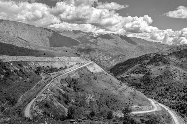
To assess the condition of cultural and historical monuments in our liberated territories, we need to create a
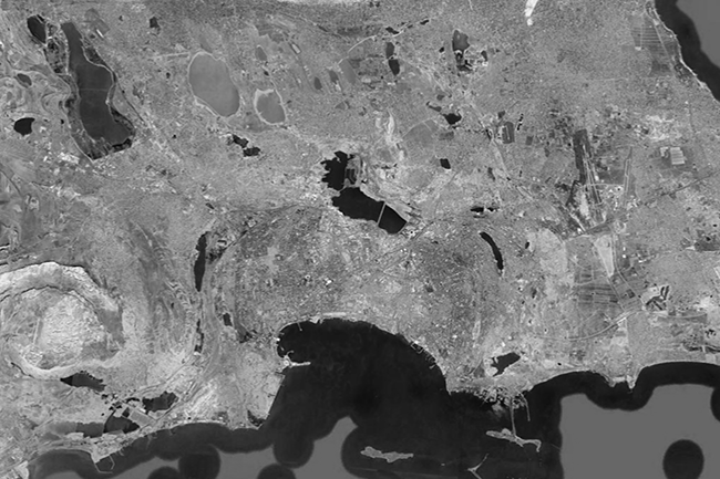
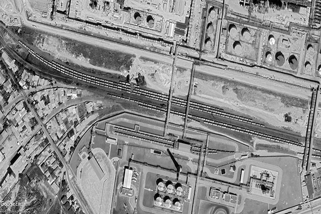
Based on the signed bilateral agreement, team of the company determined the oil-contaminated areas of Baku city using
Wireline drilling (240 m) / Multichannel Analysis of Surface Waves (MASW) / Geophysical survey (396 m) / Topography
Sampling 37 / Geological drilling / Soil laboratory / Hydrogeological survey / GIS mapping Caspian Geomatics LLC conducted
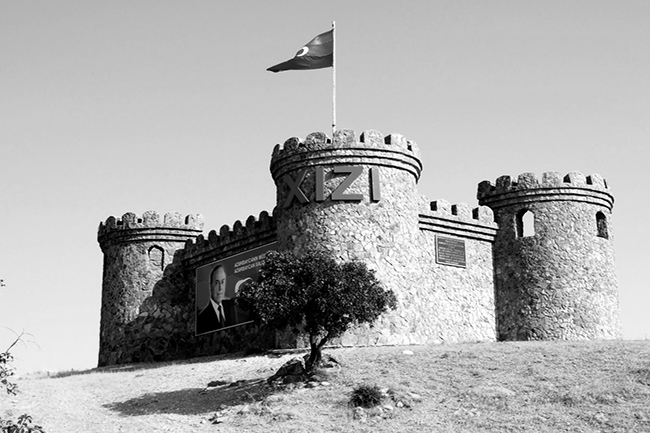
Caspian Geomatics conducted hydrogeological & geophysical surveys in the Khizi. To improve the water supply, we investigated and
The total volume of topographic survey was 14746.9 m. On the basis of the bilateral contract, engineering-topographical surveys
Wireline drilling - 1220 meters, Seismic -1.0 km, SPT, Pressuremeter test, Inclinometer test - 120 meters. A contract
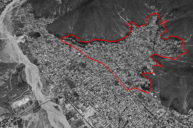
The authorities have signed a bilateral agreement to create a geographical information system (GIS). The team also compiled
Hydrographic surveying were conducted in 3 ha, study of exogenous processes was carried out along 300 meters of