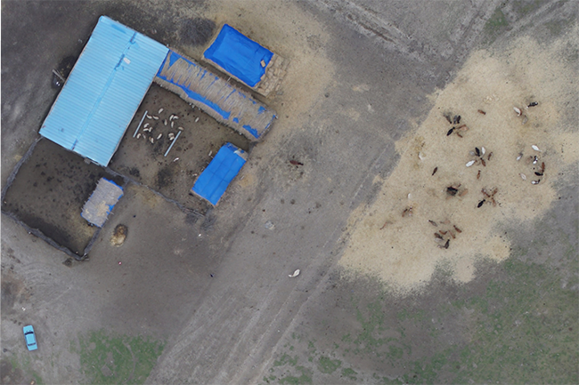
TOPOGRAPHICAL SURVEYS OF AGRICULTURAL AREAS
The Company signed a contract to conduct topographic surveys and geoinformation analyses on an area of 8000 ha.
The Company signed a contract to conduct topographic surveys and geoinformation analyses on an area of 8000 ha.
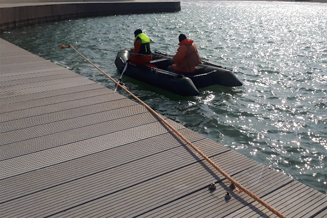
Parties signed bilateral contracts for performing seabed mapping (seafloor mapping). Along the southern coasts of the Caspian Sea
Post-Dredge Surveys / Dredging / Seafloor mapping / Marine construction / Hydrographic services / GIS A bilateral agreement
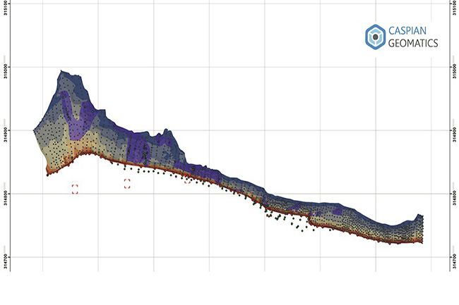
Underwater Mapping / Dredging / Seabed mapping / Bottom relief / Seafloor mapping. A bilateral agreement was signed
Topographic surveys were carried out in 3200 ha, topographic map was compiled on the scale of 1: 5000.
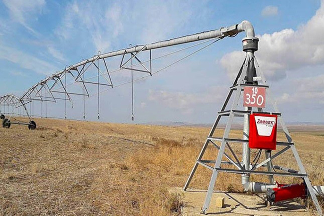
Orthophoto maps were created based on satellite data in 7000 ha , topographic surveying was carried out based
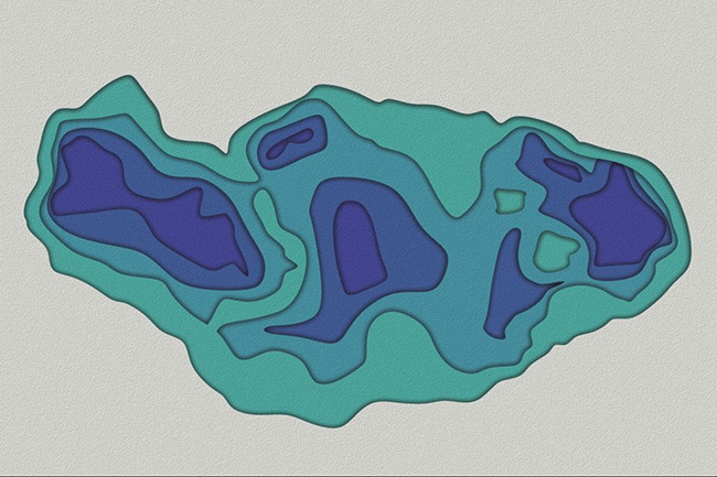
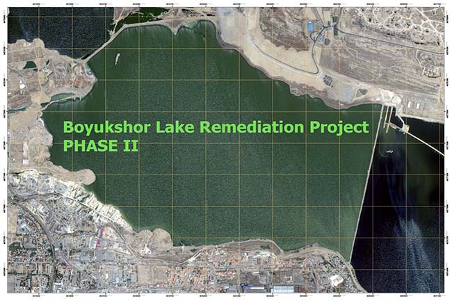
Environmental mapping / Geodetic engineering / Boyukshor lake / Geomatics Rehabilitation Phases: I- East part of the lake